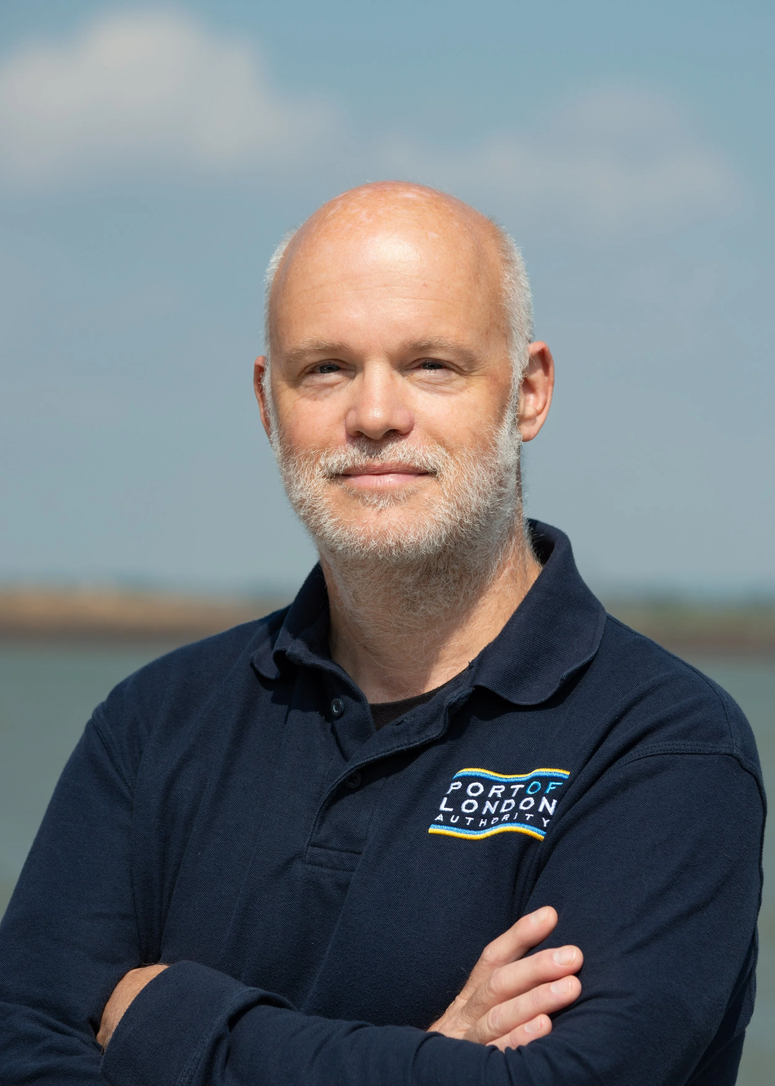
David Parker is Hydrographer of the Port of London, leading the Port of London Authority’s 22-person Hydrographic Services team. His work combines senior leadership with hydrographic expertise, overseeing seabed mapping and the products that support safe and efficient navigation across the port and its approaches.
Profile snapshot
Role: Hydrographer of the Port of London
Organisation type: Port authority
Country / region: United Kingdom / Europe
Role type: Director / senior leader; Technician / technical specialist; Hydrographer
Focus areas: Seabed mapping; Maritime; Hydrography
Jump to
Your current role
What is your current role and what kind of organization do you work for?
Hydrographer of the Port of London, leading the Port of London Authority (PLA) 22 strong Hydrographic Services team. The team are responsible for mapping the seabed and producing the products which enable ships to navigate safely and efficiently anywhere within the port and approaches.
The Port of London Authority manages the tidal Thames, ensuring safe navigation through vessel traffic management, pilotage, hydrographic surveying and river regulation, while supporting trade and commerce, protecting the environment, maintaining navigable channels and promoting sustainable use of the river.
I also have a separate advisory role with a company that designs and manufactures world leading sonar systems for seabed mapping.
What does a typical week look like?
PLA have offices in Gravesend (our main operational base) in Kent as well as central London. I typically spend three days a week in the office – either Kent or London – and work a couple of days from home. Things that take me out of the office are regular visits to one of the 72 terminal facilities within the expansive port estate, or spending time on one of our survey vessels with the team. I also have involvement on an international basis with the International Hydrographic Organisation as well as wider European port surveying group.
I confess that these days I’m quite removed from the technical coal face of hydrography, and spend more time dealing with management, finance, and other activities typical of a senior leadership role. However, I still get to flex my hydrographic muscles to review our processes and products, making key technical decisions and ensuring the team have the best tools for the job.
What skills do you use most often in your role, including any technical, practical, or soft skills?
I’d say the key skills needed by my role relate to leadership – support, mentoring, driving continuous improvement, strategic insight and making (and being accountable for) key decisions. I also spend a lot of time on improving or developing process and policy. My hydrographic and oceanographic education and experience is still a core skillset needed in my role, and I will try and add value in this respect whenever possible – while leaving the experts in our team room to manoeuvre.
Every job has a best part and a worst part. What are they for you?
Best – seeing the team getting things done through graft, determination, and talent (and providing my input into those outcomes) while overcoming the range of challenges which inevitably come our way.
Worst – expense claims.
What is one task you do all the time that never appears in job descriptions for these types of roles?
Trying to make a positive contribution back into the wider seabed mapping profession and community.
What does this job demand of your schedule or lifestyle?
I previously worked for the UK Hydrographic Office, and at times would be travelling internationally a great deal – multiple countries every month. That was a great experience, and I got to work with some amazing people in amazing places, but was tough to maintain.
My current role has much less travel – although I do commute every week between London and the South West of England. I still undertake some consultancy work and support international standards committees which take me overseas a few times a year too.
The surveyors and boat crews in our team will often work well outside of normal office hours, including early starts, late into the day and weekends. However, I’m not really involved in those operations directly. In theory I may get a call at any time to respond to an emergency, but to date that’s only happened a couple of times a year, and on both occasions I was not required to attend in person – just coordinate our team’s response or be on stand-by.
Who else do you work with or depend on to get your job done?
Too many to mention. Our immediate team is just that – a team. None of us can really operate in isolation. We also liaise closely with our Harbour Masters and Pilots to collectively enable safe and efficient navigation within the port. Our Marine Engineering team keep our vessels working (a constant battle!) and other teams support us with the technology and infrastructure needed to deliver our roles.
Your route into this work
How did you get into this work, and were there any key opportunities, decisions, or turning points along the way?
I did a degree in Hydrography with Ocean Science at the University of Plymouth in the 1990s. I then worked as a surveyor in the nearshore and civil engineering sector before joining the UK Hydrographic Office, where I had a number of roles working with the Royal Navy, Maritime and Coastguard Agency and dozens of foreign government organisations. After 23 years I was seeking a change, and the PLA role came up.
What education, training, or experience helped you get into this role?
Degree in Hydrography with Ocean Science at the University of Plymouth. On the job training and mentoring from a number of great surveyors and steadily building up experience by always saying yes!
Reflections and advice
What advice would you give someone interested in this kind of work, and where should they look for their first step?
Join the Hydrographic Society UK & Ireland, or local equivalents in other countries. You will meet people in the industry and hear from experts.
What is one mistake, challenge, or lesson from early in your career that taught you something useful?
I feel I may have stayed in a role (and same level) for too long – mainly because I really enjoyed the role. This did mean I became somewhat typecast and eventually had to leave the organisation to break into a more senior role – but other than a small financial impact, I really enjoyed the work and there is more to life than money.
If you could go back in time would you do anything differently? If so, what would that be?
No – I don’t really think I would. Really happy with the diverse things I’ve been able to do and the impact I’ve been able to have.
Where do you see this field heading, and what opportunities does that create for newcomers?
More remote operations and autonomy, meaning there are more career options that will not require people to work afloat. That should provide a better work-life balance than I was able to achieve in my early career.
Is there anything else you’d like to say?
Hydrography and seabed mapping is a great career choice if you have a strong drive to get things done and are not fazed by problem-solving and the potential for some long days. It may well take you to some amazing places and give you the chance to meet and work with a range of amazing people.